default
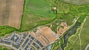
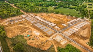
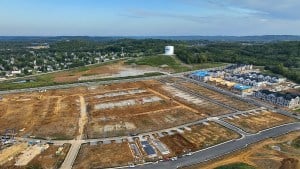
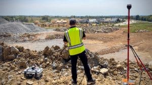
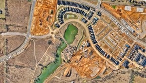
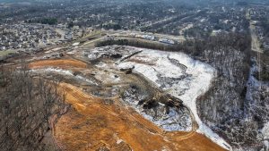
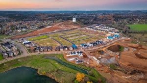
Construction Progress Photos for Land Developers
TL;DR: Construction progress photos are scheduled aerial images and video that document exactly how your site looks on a given date. For land developers, they create an objective visual record that keeps lenders, partners, and field crews aligned, answers "what did the…