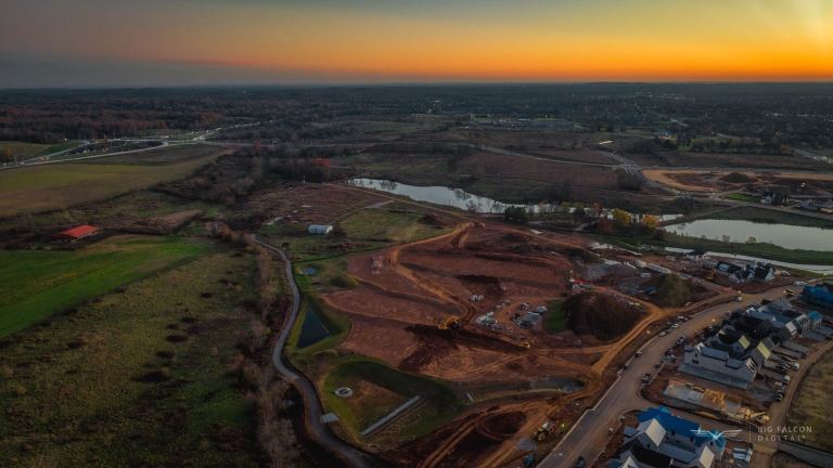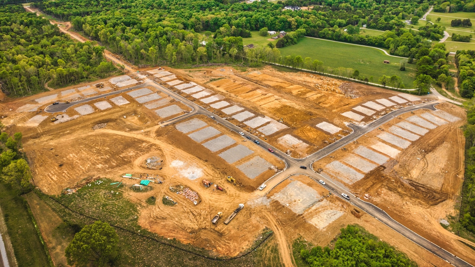
TL;DR: Drone topographic mapping captures the elevation and contours of a site from the air, then turns that data into deliverables your civil engineer, grading contractor, or finance team can actually use. For land developers, it answers one question fast: what does the ground really look like right now, compared to the plan?
If you are managing a 50-lot community in Middle Tennessee, you have probably been burned by elevation data that aged out before grading even started. In short, drone topographic mapping closes that gap. Moreover, it is the fastest way to capture current ground conditions across a full site, verify them against your design, and catch problems before they become change orders.
What Drone Topographic Mapping Actually Is
Drone topographic mapping is the process of flying an RTK-enabled drone over a site, capturing hundreds or thousands of overlapping high-resolution photos, and processing those photos into a 3D model of the ground.
From that model, you get contours, elevation surfaces, and overlays you can compare against your grading plan. However, it is not a legal boundary product. Instead, it is a high-accuracy snapshot of physical conditions, and it is repeatable as often as you want.
How a Topographic Drone Flight Actually Works
Here is a very oversimplified workflow:
- Set up a base station and collect ground control point (GCP) data across the site.
- Fly an RTK drone on a planned grid at a fixed altitude, capturing overlapping imagery.
- Process the imagery into a point cloud and a digital terrain model.
- Compare that terrain model to the engineer’s design surface and export the deliverables.
In reality, the real work happens in the processing and QA, not the flight itself. The flight, by comparison, is the easy part. As a result, getting the data to align with engineering-grade tolerances is where vendors separate.
How Accurate Is Drone Topographic Mapping?
With RTK corrections and well-placed GCPs, modern drone photogrammetry delivers centimeter-grade accuracy. DroneDeploy reports sub-5cm precision on RTK-flown sites. Independent benchmarking from AeroViews puts photogrammetry at 1 to 5 cm ground sample distance when corrections and GCPs are used correctly.
In other words, that is well inside the tolerance most developers need for grading verification, stockpile tracking, and as-built mapping. However, it is not a replacement for a licensed boundary survey, and we never market it that way.
When Should Developers Order Drone Topographic Mapping?
The most common moments we get the call:
- Pre-grading baseline. Capture existing conditions before the first dozer arrives, so you have a defensible starting point.
- Mid-grading verification. Compare current contours to the grade plan and catch out-of-tolerance areas across the full site, not just spot checks.
- Stockpile and earthwork tracking. Quantify how much dirt has moved and what is left to move.
- As-built handoff. Document final ground conditions for lender draws, county acceptance, or owner turnover.
What the Deliverable Actually Looks Like
Output varies by job. Depending on what you need, the deliverable might include:
- A heat map showing cut and fill across the site.
- A contour comparison overlay against the design surface.
- Regional volume tables broken out by phase or lot block.
- An orthomosaic basemap aligned to the contour data.
- Some combination of the above, tailored to who needs the answer.
Above all, the goal is to put the information in front of the people who have to act on it: the civil engineer, the grading contractor, or the developer signing the next pay app. In other words, the deliverable should answer a specific question. Furthermore, if a vendor hands you a generic point cloud and walks away, you bought the wrong thing.
Why Drone Topographic Mapping Saves Developers Money
First, speed is the obvious win. For example, one drone can scan a 100-acre site in less than an hour. Second, the bigger win is catching expensive problems early. For instance, a grade plan that drifts 6 inches across 30 lots is a six-figure rework conversation. By contrast, catching it on a Tuesday flight is a phone call.
Our clients have reported saving an average of $2,000 to $4,000 per lot that comes back off grade. The flight typically pays for itself if even one lot is off, and on the average job, more than half the lots are off in some way before our maps surface it. The numbers compound fast on a 50-lot community.
The Bottom Line
Ultimately, drone topographic mapping is the cheapest, fastest way for a land developer to know what is actually on the ground. So run it before grading, run it during grading, and run it again at handoff. As a result, the data pays for itself in avoided rework alone.
If you want to see how this would work on your next project, see our drone construction services or reach out anytime. We typically respond within one business day.