TL;DR: Drone orthomosaic maps are high-resolution aerial images of your site, stitched together and geometrically corrected so every point sits in its true location. For a land developer, that turns a nice photo into a measurable base map you can build grade plans, lot layouts, and progress reports on top of. They also give a beautiful, easy-to-understand view of the entire site for stakeholders to quickly get updates.
What Drone Orthomosaic Maps Actually Are
A single aerial photo is shot from one angle, so distances stretch and lean toward the edges of the frame. You cannot trust a measurement taken off it. Also, with the FAA limiting drones to 400 feet above-ground altitude, large properties can’t legally fit in one image.
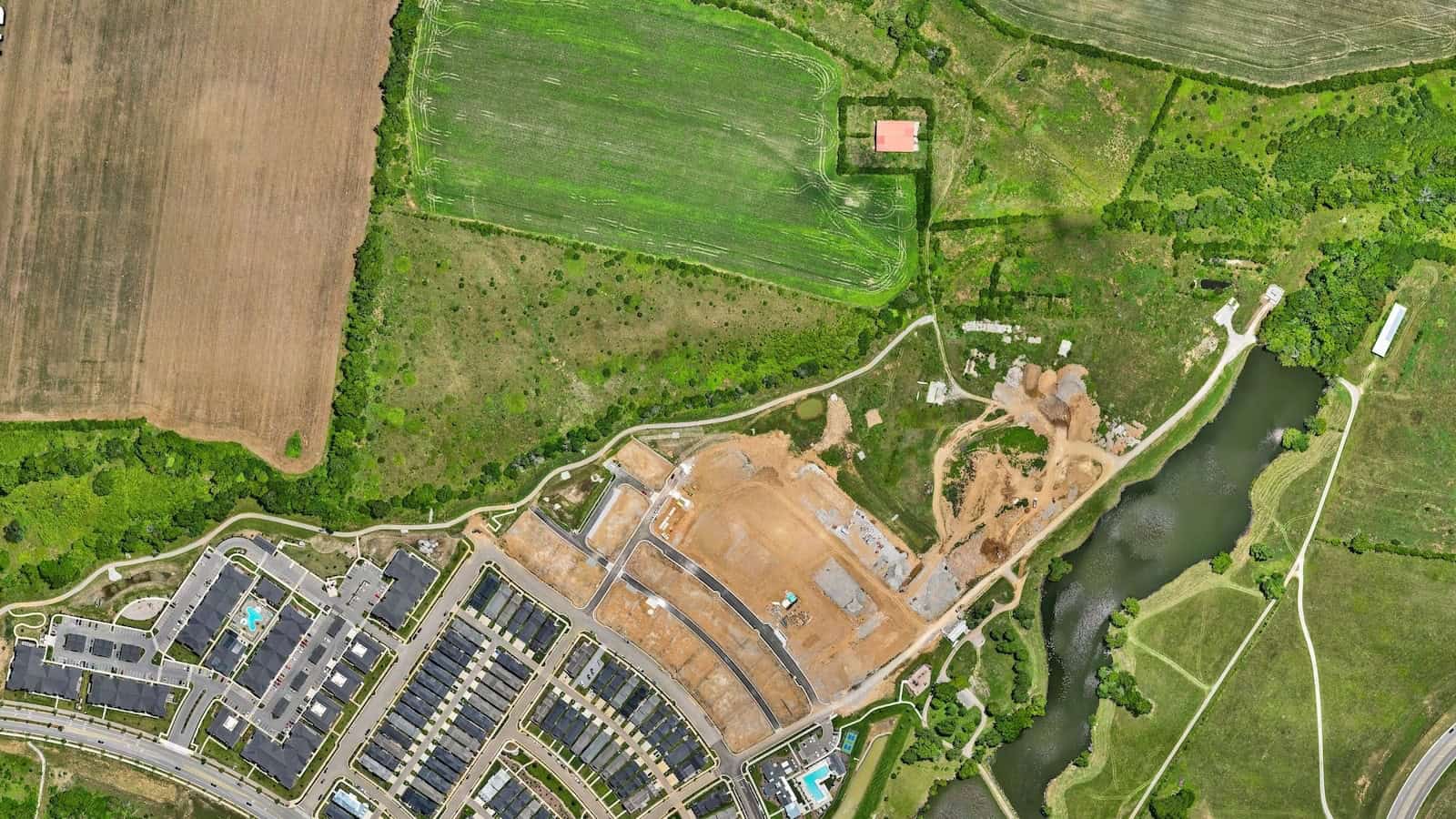
An orthomosaic fixes that. Mapping software stitches hundreds of overlapping photos into one image and corrects each frame for perspective, camera tilt, and lens distortion, so the finished map can be scaled accurately for true distances, as DJI Enterprise explains in its primer. Because the map is geometrically corrected using elevation data, it can be used to measure distances, areas, and site features with far greater accuracy than standard aerial photos.
In plain terms, you can measure right off the map.
It also beats the free satellite view. Public imagery can be a year or more out of date and was never built for precise measurement. An orthomosaic is flown on the date you need it and tied to ground control, so it reflects the site as it stands today.
Why Developers Order Them for Large Properties
On a 50+ lot community, the orthomosaic is the layer everything else references. Your civil engineer, your grading contractor, and your sales team all work from the same current, true-to-scale picture instead of a plan that is six months stale.
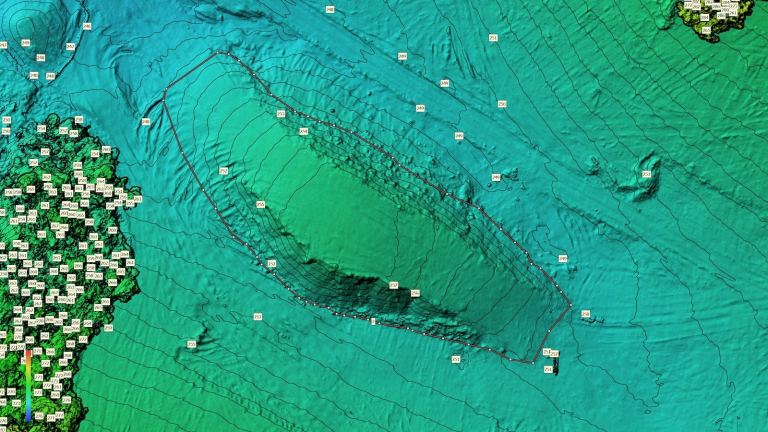
The money shows up when we overlay a design grade plan on the captured surface. The map shows which pads sit high or low before a single load of dirt moves. Clients typically report savings of $2,000 to $4,000 per lot that’s off-grade when they catch it early, and on most sites more than half the lots are off by enough to matter. It tends to pay for itself if even one lot is wrong.
The same map also carries weight in the room. When a lender or investor asks where the project stands, a current aerial they can measure answers fast.
Three Ways Land Developers Use Drone Orthomosaic Maps
The same base map earns its keep at three points in a project:
- Strategic site planning. Overlay building footprints and grade plans on the real surface to catch conflicts early, before they are framed into the budget.
- Active construction. Track progress between milestones, coordinate trades, and check stockpiles, topography, and other earthwork against an accurate backdrop.
- As-built and marketing. Document the finished site for lenders and partners, and hand your sales team clean aerial visuals of the community.
Most developers do not need a flight every week. A capture at the milestones that matter, such as pre-construction, mass grading, and substantial completion, usually gives you the documentation and measurements needed without padding the budget.
How the Maps Get Made
Here is a very oversimplified workflow. We set up a base station, collect ground control point data, and fly the property with an RTK drone capturing photos at high overlap. Software then orthorectifies those images into one georeferenced map, and the same flight produces the elevation data behind contour and volume work.
The deliverable varies by job. It might be a georeferenced base map, a contour comparison, regional volume tables, or some combination. Our drone construction services page walks through the most popular options, and our recent post on drone topographic mapping covers the grade side in more depth.
One honest caveat. High-accuracy drone capture does not replace a licensed land surveyor. You still need a licensed surveyor for boundary surveys, ALTA surveys, and certified plats. Aerial mapping fills the gaps between those legal milestones with fast, current data, and that speed matters because on large sites, minor errors can lead to significant cost overruns, as earthwork estimators point out. An accurate base map shrinks the guesswork.
The Bottom Line
Drone orthomosaic maps are not about prettier photos. They give you one measurable, current view of your site that engineering, grading, and finance can all work from. When used early, they surface expensive problems while they are still cheap to fix.
If you are weighing aerial mapping for an upcoming development, reach out anytime through our contact page. We typically respond within one business day, and we are glad to share examples of past work on similar sites.