Nearly 100 feet—that’s how far off the elevation calculations were between two contractors. The mistake? A simple misunderstanding of three critical terms: geoid, ellipsoidal, and orthometric heights.
An earthworks client we worked with firmly believed the surveyors had made a massive mistake. Their internal team’s measurements revealed a nearly hundred-foot discrepancy in elevation data compared to the survey results. The team spent weeks identifying the error, delaying excavation schedules, shifting project timelines, and frustrating contractors. Ultimately, the issue wasn’t faulty equipment or bad calculations. It was a simple but costly misunderstanding of geoid vs ellipsoid vs orthometric height.
If you’re a land developer, general contractor, or site engineer, understanding the difference between these elevation models isn’t just technical jargon—it’s essential for preventing costly grading errors, project delays, and disputes. Here’s what you need to know.
Geoid vs Ellipsoid vs Orthometric: What’s the Difference?
Elevation isn’t measured by a single universal standard. Different models exist, and failing to convert between them properly can result in major discrepancies. The three most common elevation references are:
- Ellipsoidal Height (h): This is the height measured from a mathematical ellipsoid model of the Earth. GNSS/GPS reports ellipsoidal height (h) by default; you get ‘elevation’ (orthometric height H) only after applying a geoid model.
- Geoid Height (N): The geoid is a gravity-based surface that approximates mean sea level. N is the offset between the ellipsoid and the geoid.
- Orthometric Height (H): This is the height above the geoid, which is what most surveyors and construction teams use for real-world elevation. It’s calculated as: H = h – N (Virtual Surveyor).
Geoid vs Ellipsoid vs Orthometric: How Elevation Errors Impact Construction
The difference between these height systems can be significant—often ranging from a few inches to over 100 feet depending on location (Propeller Aero). Two teams using different references can look far apart. This can lead to serious construction errors, including:
- Grading Mistakes: If one contractor is working with ellipsoidal heights while another is using orthometric heights, elevation differences can result in incorrect grading, leading to improper drainage and structural issues.
- Material Miscalculations: Earthworks teams rely on precise measurements to calculate the volume of material that needs to be removed or added. An elevation discrepancy can lead to over- or under-excavation, wasting time and money.
- Delays and Legal Disputes: If two teams use different reference systems without realizing it, they can spend weeks reconciling data—just like in our opening story. These disputes can damage relationships and even lead to costly legal battles.
How to Avoid Costly Elevation Errors
Preventing these mistakes starts with proactive planning and communication. Here’s what to do:
- Standardize the Vertical Datum: Ensure that all contractors, surveyors, and engineers agree on a single reference system before work begins. List the vertical datum + geoid model on every deliverable (e.g., NAVD88 + GEOID18) so everyone matches settings. Also, know whether the initial survey information is using geoid, ellipsoidal, or orthometric height.
- Verify CRS and Vertical Datum in Software: Whether using GPS, drones, or survey instruments, always confirm that the coordinate reference system (CRS) and vertical datum match across all platforms (Pix4D).
- Educate Your Team: Many field crews and even some project managers may not be aware of the impact different elevation models can have. Regular training sessions can prevent misunderstandings.
Conclusion
In the fast-paced world of construction, precision matters. Elevation discrepancies caused by a misunderstanding of geoid vs ellipsoid vs orthometric height can lead to costly errors, delays, and disputes. By ensuring that all teams use the same reference system from day one, land developers and construction managers can prevent major setbacks and keep projects on track.
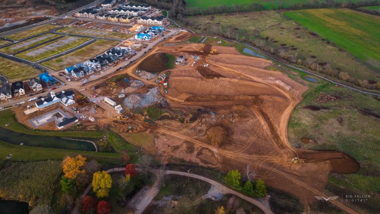
Don’t let a simple measurement difference derail your project and avoid costly mistakes before they happen. At Big Falcon Digital, we provide drone services specialized for construction to help you track progress, verify site conditions, and ensure accurate elevation data—so you never have to worry about mismatched reference systems. Learn how we can help keep your construction project on track and minimize errors. Check out our construction drone services here.