Drone LiDAR Services vs Photogrammetry: Which is Best?
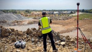
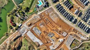
Let’s talk about a common dilemma I see on construction sites frequently when it comes to drone lidar services and photogrammetry. A project manager calls and says: “We’ve got tree cover, uneven terrain, and we need to get our volume estimates nailed…