Aerial images captured construction progress from all cardinal directions for both stakeholder review and leadership planning meetings.
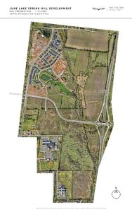
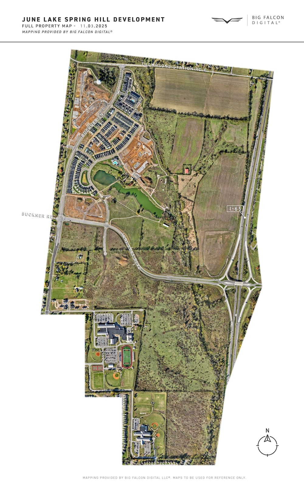
Southeast Venture – June Lake Property Map
Captured 11/03/25: High res orthomosaic map of the 775-acre June Lake development. Utilized to update stakeholders on progress and document milestones.
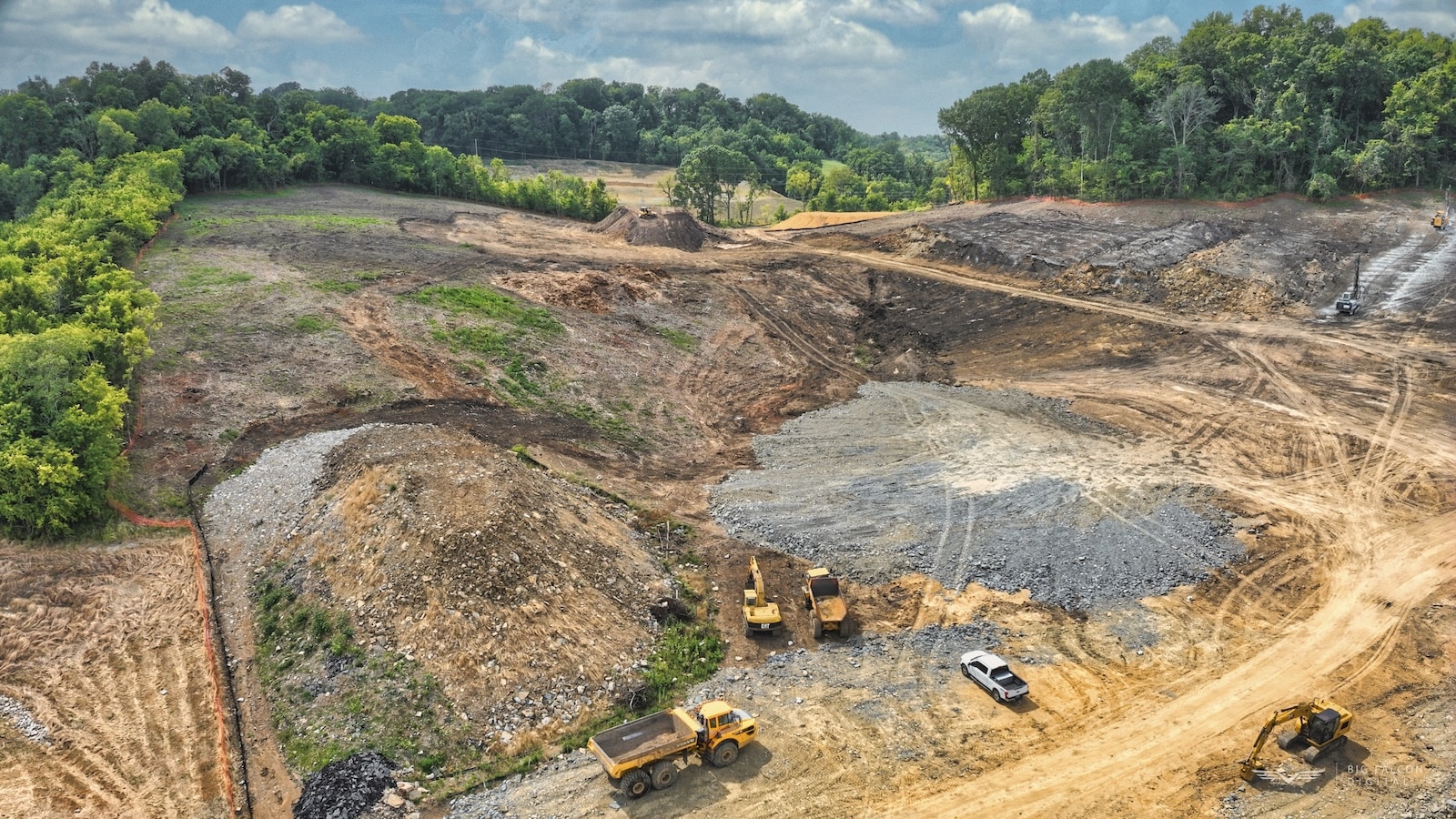
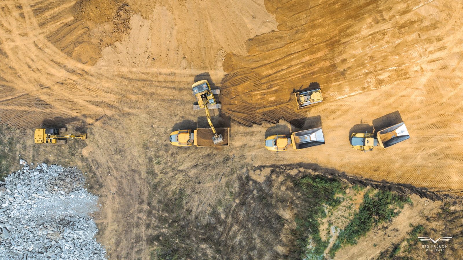
Topography Verification
Topography data was captured to verify that mass grading matched site plans. Image shows the site referenced.
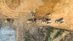
Volumetric Report of Earthworks
A highly accurate Volumetric Report was provided to a developer to verify earthworks invoicing. Image shows part of the site; report not displayed due to NDA.
Mars Global – Factory Map
An interior factory map of the entire ground floor of a manufacturing facility. It’s currently utilized by leadership, engineering, maintenance, safety, and training.
NVR Inc – Topography Verification
On a routine basis, contour data and volume measurements were utilized to confirm the site’s topography aligned with site plans.
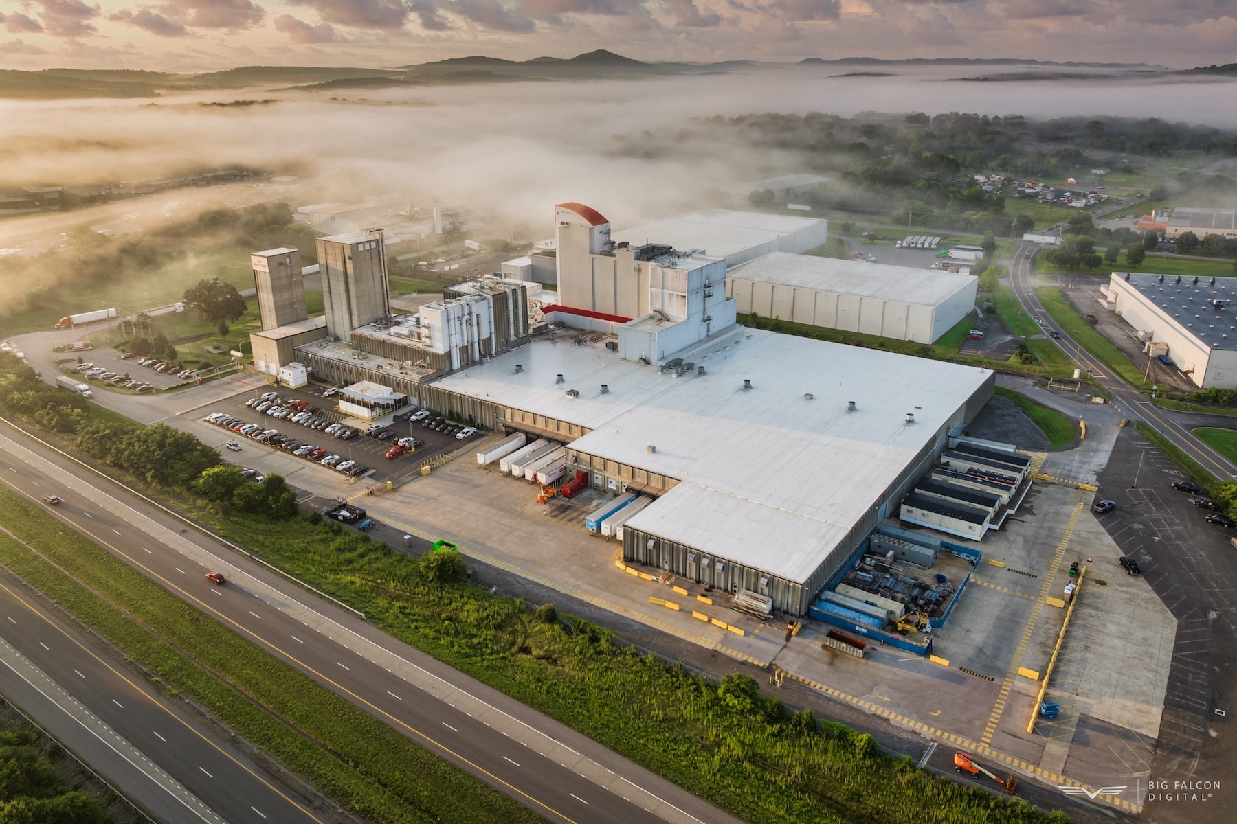
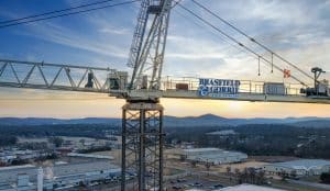
Brasfield & Gorrie – Construction Progress Documentation
Aerial imagery documented construction progress for stakeholder updates and marketing use.
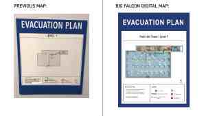
Mars Global – Evac Map Updates
In order to increase site safety, updated Evac Maps were requested to reflect the current layout and equipment locations.
Land Advisors Organization – Drone Photography
Aerial imagery highlighted the proposed site’s proximity to downtown Nashville for stakeholder presentations.


