Drone Construction Services
Topography Verification • Orthomosaic Maps • Volumetric Reports • Progress Videos • 3D Models
While Big Falcon Digital is not a licensed surveying firm, we work closely with developers, contractors, and engineers to provide high-accuracy aerial data via drone construction services that support site planning and verification.
TOPOGRAPHIC VERIFICATION MAPPING
Confidently confirm grading. Prevent costly rework. Stay on schedule.
Construction-Grade Accuracy
Our drone mapping delivers high-precision elevation data that meets or exceeds industry benchmarks. Verify grading against engineered plans—without the time and cost of traditional surveys.
Important: Big Falcon Digital is not a licensed surveying firm.

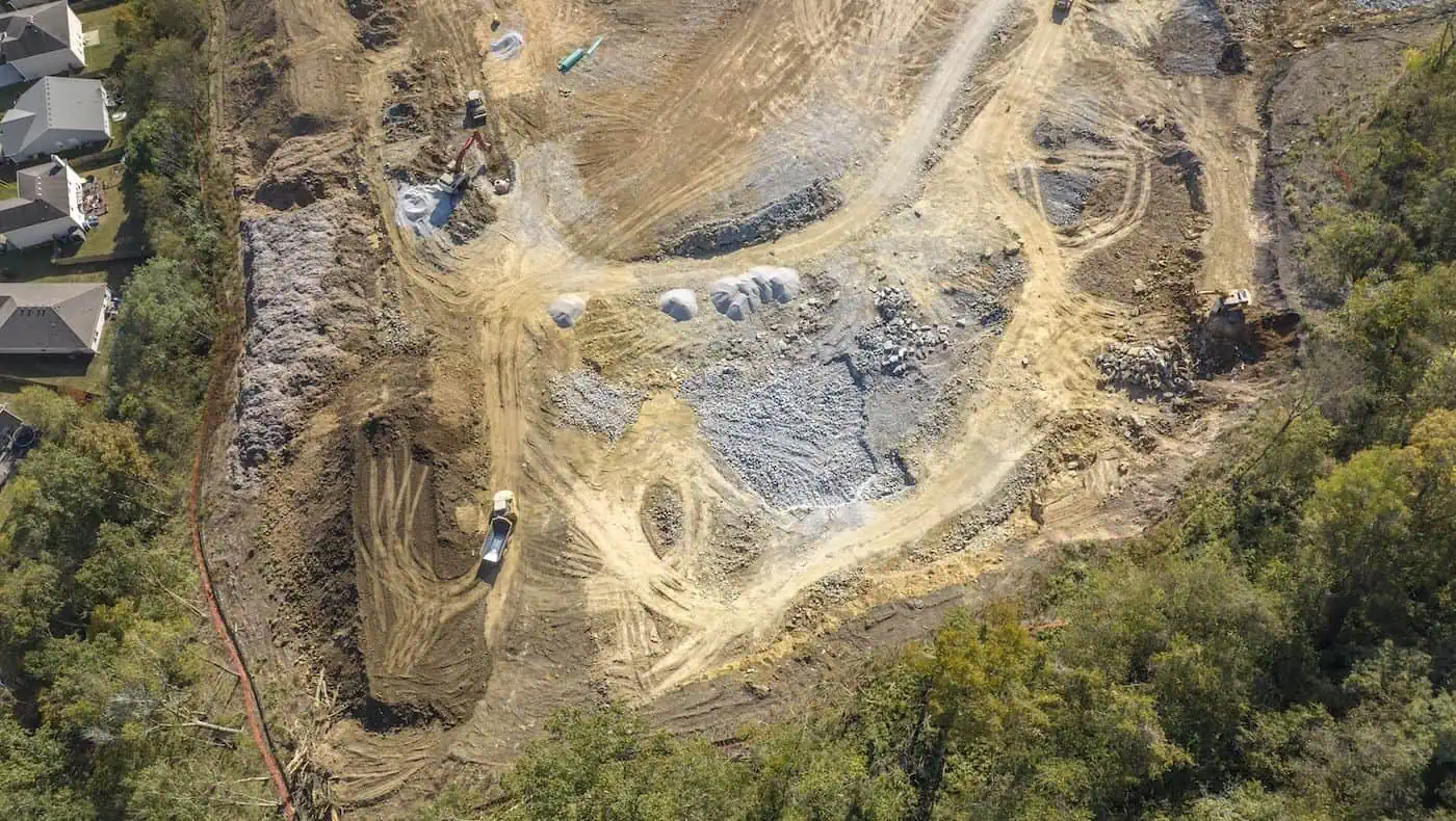
Fix Issues Before They Cost Thousands
In Middle TN, grading mistakes often go unnoticed for 45-60 days.
We catch them early to avoid rework, delays, and costly change orders—keeping your project on track.
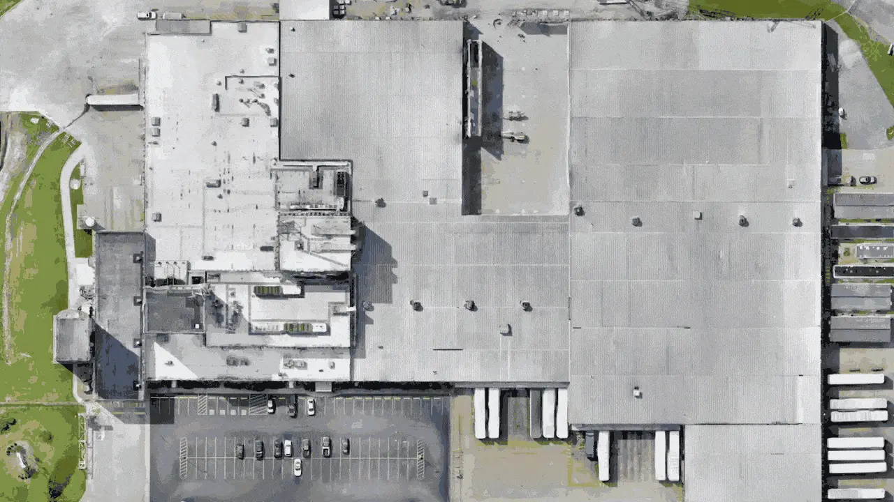
PROGRESS PHOTOS & VIDEOS
Ensure accountability. Monitor progress for stakeholders. Update the public.

Track Construction Progress with a Drone's Perspective
With a unique drone perspective, track the progress of your site with weekly, biweekly, or monthly construction progress footage.
Early detection of delays allows for prompt corrective action while also keeping stakeholders informed. This is why drone progress photos and videos have become one of the most widely used drone construction services today.
“Since we’re an out of town company, it’s nice to have some eyes in the sky when we’re not on a site. It ensures the site is ready for us to proceed with our work.”
- Matt, Foreman with Kentuckiana Concrete
ORTHOMOSAIC MAPS
Improve Site Management. Minimize construction schedule delays.
ORTHOMOSAIC MAPS
Improve Site Management. Minimize construction schedule delays.
Hundreds of Acres Within a Glance
For projects over 20 acres, orthomosaic maps are one of the most effective ways to compare the progress of your site to the initial plans. Spot necessary changes ASAP to keep each project on time to avoid costly rework and decrease liquidated damages.

A Timestamped Archive of Your Site
Get a precise visual record of your site’s progress at key intervals, allowing you and your stakeholders to see exactly what was happening during each documented phase. With permanent documentation from our drone construction services, minimize construction schedule deviations.
“We really used the Property Maps as progress updates for stakeholders ... Also, having that historical record is helpful to see certain electrical improvements, different street lights, etc., and to say 'Between these months is when this certain construction progress happened.’ They’ve been really helpful.”
- Don Alexander with Southeast Venture, Project Manager of the June Lake Development
VOLUMETRIC REPORTS
Measure stockpiles. Optimize resources. Control cash flow.

Keep Vendors Accountable
Because of the higher demand of construction projects recently, vendors are often incentivized to work faster which has increased costly mistakes.
With biweekly or monthly volumetric reports, grading and utility companies can make sure contracts are being adhered to, timelines are being met, and your costs and reputation are staying intact, giving you a competitive advantage in the region.
Improve Cash Flow by Knowing Precise Cut & Fill Amounts
How is your team doing your billings? Have you run into instances where you were 100% billed, but you’re still working 2 weeks later? That hurts your cash flow.
There’s a solution. Receive an updated volumetric report right before each bill is sent. This drone construction service gives your team highly accurate cut and fill amounts which ensure your billings are accurate, your scheduled deliveries are optimized, and your cash flow is correct.

CONSTRUCTION 3D MODELS
Enhance Collaboration. Fix Errors. Reduce Rework.
Why choose a 3D model for your site?

Reduce costly rework through precise modeling
